Conditions come before the route
Death Valley is not a destination where a familiar route can be assumed to remain available. Road closures, storm damage and extreme heat can change what is practical. Begin with the National Park Service's current conditions and safety pages, then choose the route and accommodation. A navigation app may suggest a road without explaining whether it is open or suitable for your vehicle.
For a short trip from Las Vegas, select a limited part of the park rather than planning a sweep of every famous viewpoint. The distances between services and attractions are part of the experience, but they also make a crowded itinerary difficult to adapt once you are there.
Choose the season for the activity
The park's official safety guidance should determine whether a proposed walk is reasonable. An itinerary suitable in cooler conditions may be inappropriate in hot weather. Do not assume that moving the same hike slightly earlier solves every heat problem. Choose a different activity or different dates when the conditions require it.
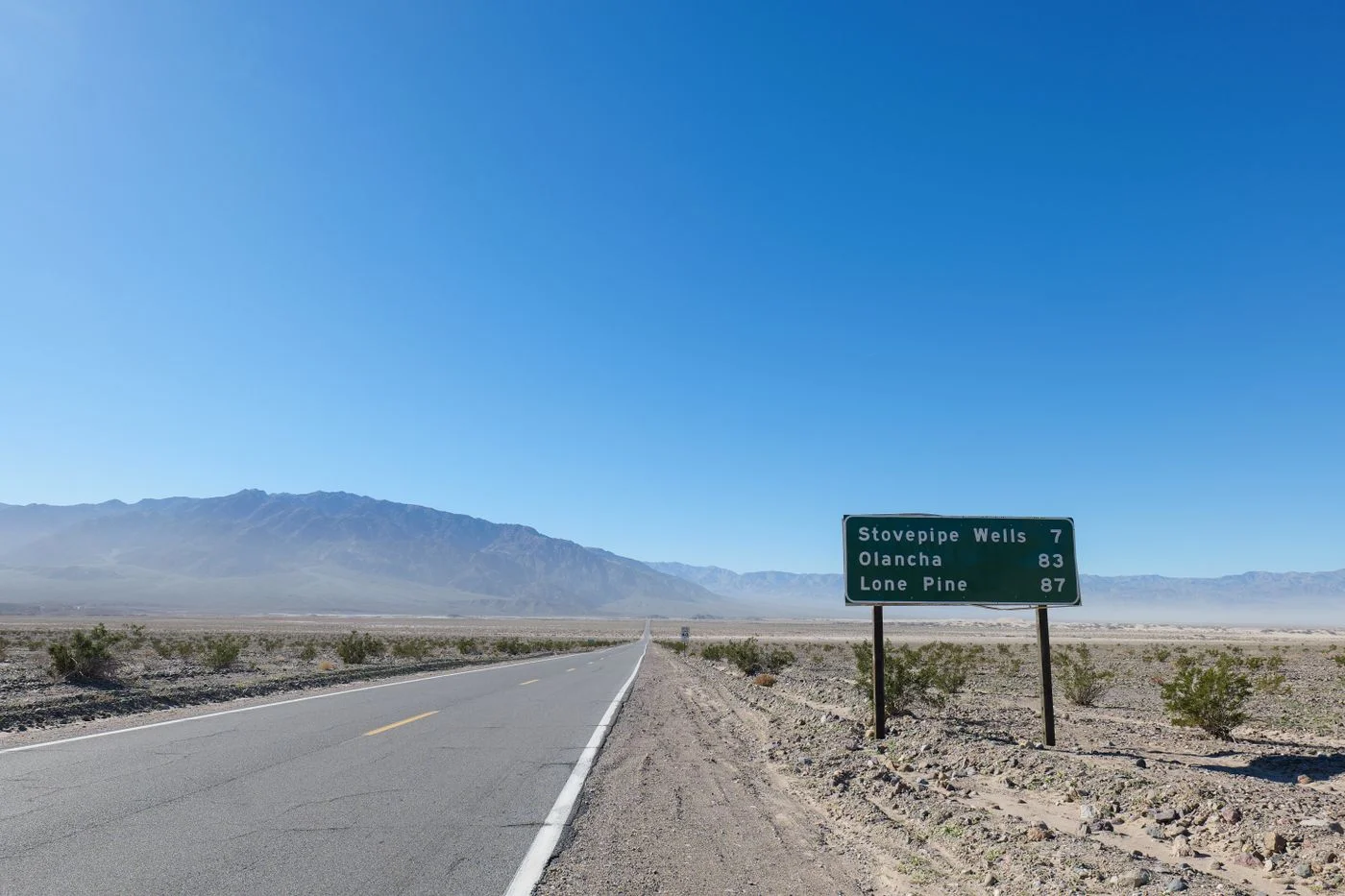
If the trip is mainly a scenic drive, it still needs preparation. The vehicle, fuel or charging plan, water and communications arrangements matter. Consult the park's guidance and understand where the actual services are. A long line on a map through open country should not be treated like an urban road with frequent alternatives.
Accommodation sets the reachable area
A stay inside or near the park can reduce the need to make every viewpoint part of a single return drive to Las Vegas. However, the exact location matters. Compare the routes to your selected stops and confirm food and check-in arrangements. Do not assume all services shown in an old itinerary operate on the same schedule.
The first day should leave enough margin to reach the property without rushing unfamiliar roads after a long sequence of stops. If a viewpoint is optional, keep it optional. A delayed departure or revised route is a reason to shorten the day, not increase speed.
Keep the main day geographically coherent
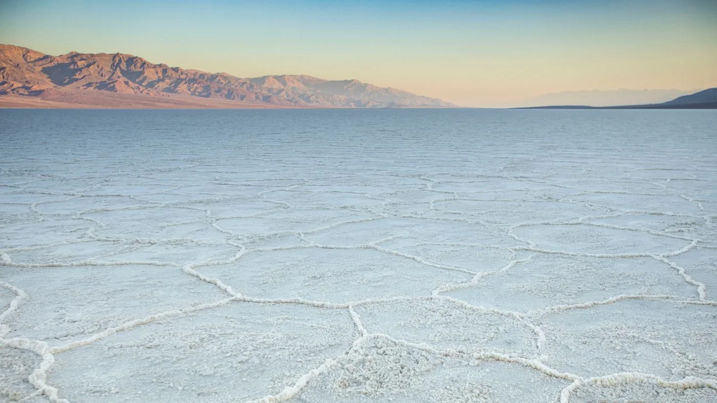
Choose a cluster of accessible places and one appropriate walk only if current guidance supports it. Badwater Basin, Zabriskie Point and other named destinations are not identical experiences, and each has a different approach. Read the park's description of the specific stop rather than treating every pin as a brief roadside photograph.
Do not add an unpaved road simply because it appears to connect two places more directly. Road surface, vehicle restrictions and current conditions must be checked independently. If the suitable route is much longer, reduce the number of stops instead of improvising a shortcut.
A change of plan is part of planning
Decide before leaving Las Vegas what would make you postpone or substantially change the trip: an official closure affecting the route, conditions inappropriate for the intended activity or an unresolved vehicle issue. Having that decision in advance is more useful than trying to justify the original plan after arrival.
Keep booking terms and alternative accommodation in mind without assuming every disruption has an easy substitute inside the park. Sometimes the sensible alternative is another destination or another weekend. The landscape will still be there when the conditions better match the trip you want.
Preserve the return margin
On departure day, avoid a distant final stop that commits you to a long detour. Return with enough time for breaks and any Las Vegas flight or vehicle handover. The safest and most satisfying short version is deliberately limited, using current official information rather than an old collection of driving times and viewpoints.